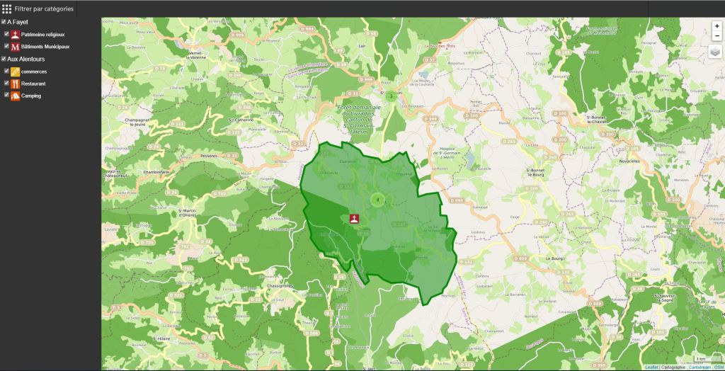
Retrouvez la carte interactive de Fayet-Ronaye et de ces alentours en cliquant sur l’image ci-après :
 https://cartes.gouv.fr/explorer-les-cartes/embed?c=3.530848,45.434849&z=14&l=PLAN.IGN$GEOPORTAIL:GPP:TMS(1;1;1;1;attenue),FORETS.PUBLIQUES$GEOPORTAIL:OGC:WMTS(2;1;1;0),TRANSPORTNETWORKS.ROADS$GEOPORTAIL:OGC:WMTS(3;1;1;0),HYDROGRAPHY.HYDROGRAPHY$GEOPORTAIL:OGC:WMTS(4;1;1;0),HYDROGRAPHY.BCAE.2026$GEOPORTAIL:OGC:WMTS(5;1;1;0),hedge.hedge$GEOPORTAIL:OGC:WMTS(6;1;1;0),BDTOPO$GEOPORTAIL:GPP:TMS(7;0.37;1;0;bati_date),IGNF_RPG_PARCELLES-BIO_2025$GEOPORTAIL:OGC:WMTS(8;1;1;0),impacts_climat-zones_natura_2000$GEOPORTAIL:GPP:TMS(9;1;1;0;76d7e236-8479-4389-8519-55fcaeb6b5ab_style_zones_natura_2000),captages_eau_france_entiere$GEOPORTAIL:OGC:WMS(10;1;1;0)&permalinkShare=yes


Votre commentaire